TYPE:
SENSOR
LAYER:
DS_PHR1B_202404021043541_FR1_PX_E006N45_0112_01724
FORMAT:
DIMAP
RASTER:
image/tiff
General Information
Map Name
Geometric Processing Level
Radiometric Processing Level
BASIC
Image dimensions
Number of columns
33655
Number of rows
38175
Number of spectral bands
1
Dataset framing
Vertice
Longitude (DEG)
Latitude (DEG)
Row
Col
#1
5.96726816143311
45.57125976856077
#2
6.189363841892115
45.5683162489002
#3
6.187334211311325
45.39200057873738
#4
5.967346219396029
45.39277015422797
Dataset sources
PHR
Coordinate Reference System
Projected Coordinate System
Geocoding tables identification
EPSG(6.3)
Production
Production Date
2024-04-03T09:45:05.846
Job identification
6958942101-1
Dataset Producer Identification
AIRBUS DS GEO
Producer link
http://www.geo-airbusds.com
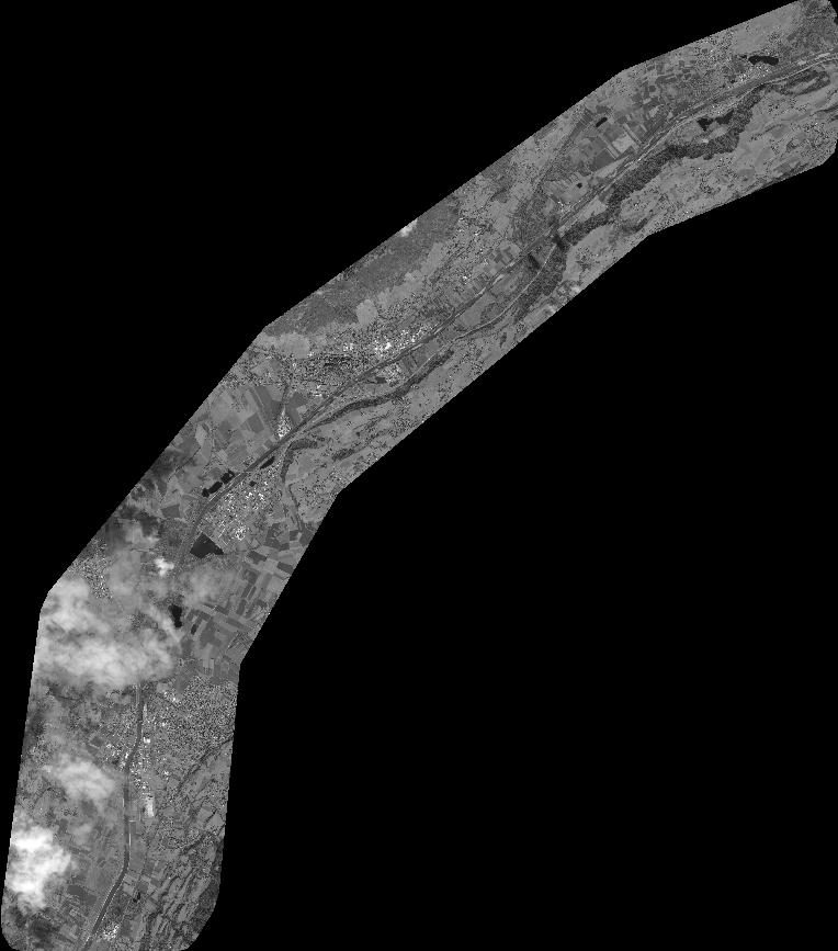
Quicklook
Copyright