TYPE:
SENSOR
LAYER:
DS_PHR1A_202404021142571_FR1_PX_W014N12_0123_01430
FORMAT:
DIMAP
RASTER:
image/tiff
General Information
Map Name
Geometric Processing Level
Radiometric Processing Level
BASIC
Image dimensions
Number of columns
7286
Number of rows
7935
Number of spectral bands
4
Dataset framing
Vertice
Longitude (DEG)
Latitude (DEG)
Row
Col
#1
-13.99587101629129
12.9992914946042
1
#2
-13.82940586892156
13.01887769858168
#3
-13.82909902952619
12.85292649320101
#4
-13.99589253315595
12.83502204740531
Dataset sources
PHR
Coordinate Reference System
Projected Coordinate System
Geocoding tables identification
EPSG(6.3)
Production
Production Date
2024-04-03T01:48:40.867
Job identification
6958472101-2
Dataset Producer Identification
AIRBUS DS GEO
Producer link
http://www.geo-airbusds.com
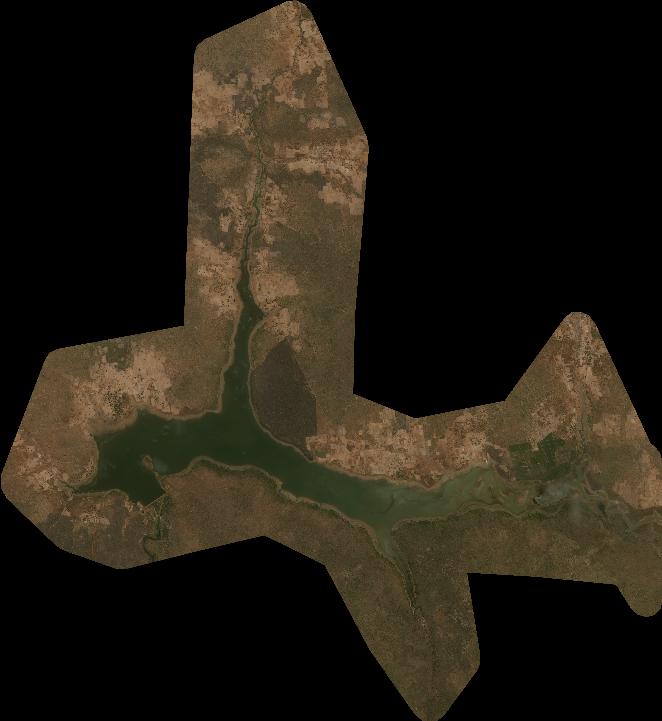
Quicklook
Copyright