TYPE:
SENSOR
LAYER:
DS_PHR1B_202404021053470_FR1_PX_W003N12_0907_01665
FORMAT:
DIMAP
RASTER:
image/tiff
General Information
Map Name
Geometric Processing Level
Radiometric Processing Level
BASIC
Image dimensions
Number of columns
7562
Number of rows
9230
Number of spectral bands
4
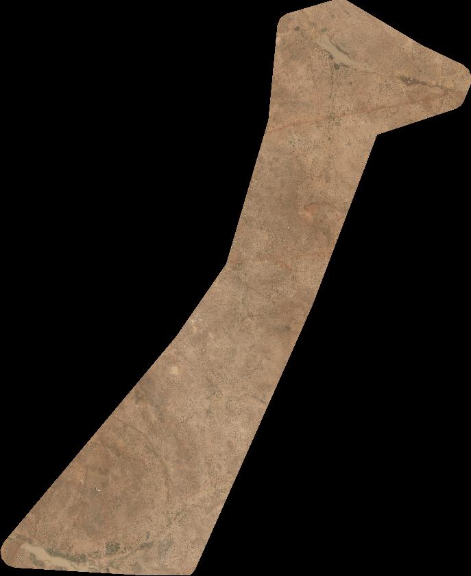
Dataset framing
Vertice
Longitude (DEG)
Latitude (DEG)
Row
Col
#1
-2.382738319427046
12.33378960412226
1
#2
-2.226577268628048
12.34391254798633
#3
-2.226469533352499
12.16440361897368
#4
-2.383095574724933
12.15558137017597
Dataset sources
PHR
Coordinate Reference System
Projected Coordinate System
Geocoding tables identification
EPSG(6.3)
Production
Production Date
2024-04-02T22:53:44.266
Job identification
6958318101-2
Dataset Producer Identification
AIRBUS DS GEO
Producer link
http://www.geo-airbusds.com
Quicklook
Copyright