TYPE:
SENSOR
LAYER:
DS_PHR1A_202403231449476_FR1_PX_W070S31_0319_01724
FORMAT:
DIMAP
RASTER:
image/jp2
General Information
Map Name
Geometric Processing Level
Radiometric Processing Level
BASIC
Image dimensions
Number of columns
31406
Number of rows
38033
Number of spectral bands
1
Dataset framing
Vertice
Longitude (DEG)
Latitude (DEG)
Row
Col
#1
-69.89444908068846
-30.12206963557392
#2
-69.72823893287067
-30.122102077006
#3
-69.72816819627387
-30.29889059503808
#4
-69.89466824016966
-30.30128992917926
Dataset sources
PHR
Coordinate Reference System
Projected Coordinate System
Geocoding tables identification
EPSG(6.3)
Production
Production Date
2024-03-25T08:29:12.285
Job identification
6953158101-1
Dataset Producer Identification
AIRBUS DS GEO
Producer link
http://www.geo-airbusds.com
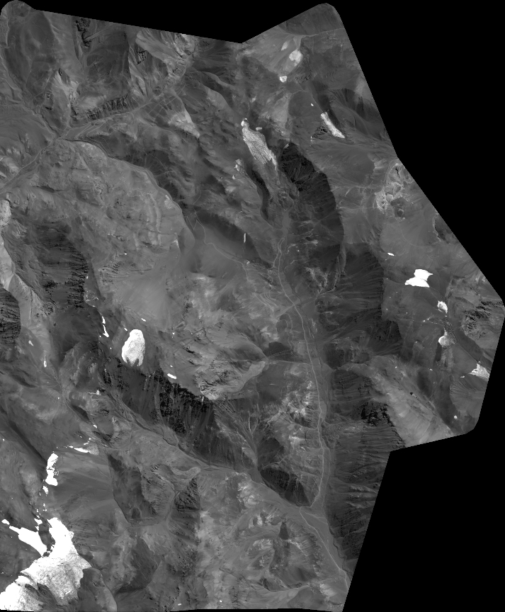
Quicklook
Copyright