TYPE:
SENSOR
LAYER:
DS_PHR1A_202403211501354_FR1_PX_W070S18_0213_01783
FORMAT:
DIMAP
RASTER:
image/tiff
General Information
Map Name
Geometric Processing Level
Radiometric Processing Level
BASIC
Image dimensions
Number of columns
9593
Number of rows
9922
Number of spectral bands
4
Dataset framing
Vertice
Longitude (DEG)
Latitude (DEG)
Row
Col
#1
-69.97161966890789
-17.3939328735561
1
#2
-69.78399811707862
-17.38803480469884
#3
-69.7849606619579
-17.57909082885877
#4
-69.97137800454071
-17.58142594937382
Dataset sources
PHR
Coordinate Reference System
Projected Coordinate System
Geocoding tables identification
EPSG(6.3)
Production
Production Date
2024-03-22T11:31:03.090
Job identification
6952265101-2
Dataset Producer Identification
AIRBUS DS GEO
Producer link
http://www.geo-airbusds.com
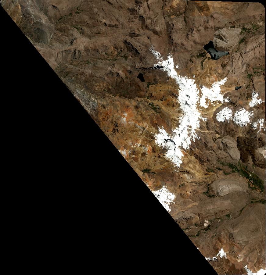
Quicklook
Copyright