TYPE:
SENSOR
LAYER:
DS_PHR1A_202403211501282_FR1_PX_W071S18_1220_00859
FORMAT:
DIMAP
RASTER:
image/tiff
General Information
Map Name
Geometric Processing Level
Radiometric Processing Level
BASIC
Image dimensions
Number of columns
6885
Number of rows
4615
Number of spectral bands
4
Dataset framing
Vertice
Longitude (DEG)
Latitude (DEG)
Row
Col
#1
-70.07652126162475
-17.16521896736624
1
#2
-69.94378392143589
-17.16232014121191
#3
-69.94385706237055
-17.24890314773807
#4
-70.07626710137158
-17.25054826362898
Dataset sources
PHR
Coordinate Reference System
Projected Coordinate System
Geocoding tables identification
EPSG(6.3)
Production
Production Date
2024-03-22T11:29:28.481
Job identification
6952263101-2
Dataset Producer Identification
AIRBUS DS GEO
Producer link
http://www.geo-airbusds.com
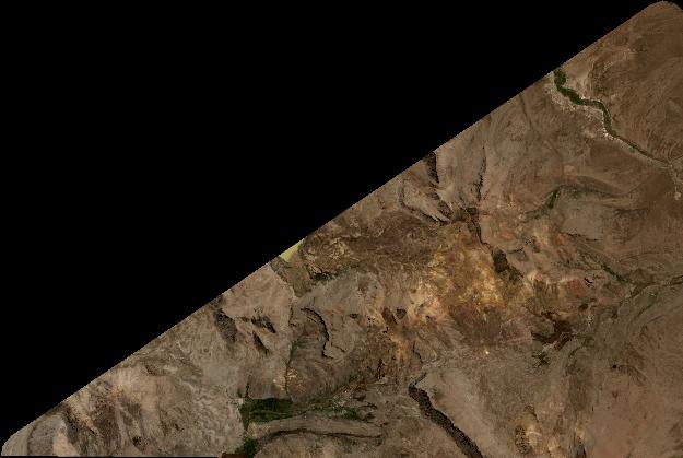
Quicklook
Copyright