TYPE:
SENSOR
LAYER:
DS_PHR1A_202403211501192_FR1_PX_W070S18_0220_01605
FORMAT:
DIMAP
RASTER:
image/tiff
General Information
Map Name
Geometric Processing Level
Radiometric Processing Level
BASIC
Image dimensions
Number of columns
39878
Number of rows
35553
Number of spectral bands
1
Dataset framing
Vertice
Longitude (DEG)
Latitude (DEG)
Row
Col
#1
-69.97618380180968
-17.09216780329269
#2
-69.78675701415237
-17.08970472977014
#3
-69.78617942354919
-17.25098099676927
#4
-69.97652162879604
-17.25369786017443
Dataset sources
PHR
Coordinate Reference System
Projected Coordinate System
Geocoding tables identification
EPSG(6.3)
Production
Production Date
2024-03-22T12:25:06.026
Job identification
6952261101-1
Dataset Producer Identification
AIRBUS DS GEO
Producer link
http://www.geo-airbusds.com
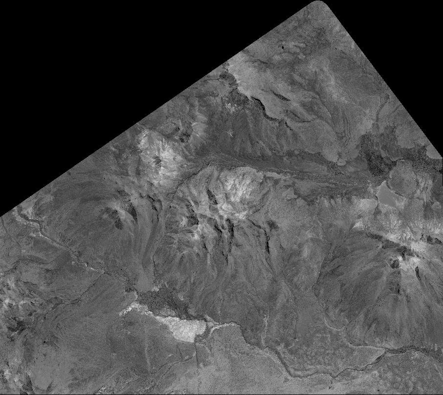
Quicklook
Copyright