TYPE:
SENSOR
LAYER:
DS_PHR1A_202403211500363_FR1_PX_W070S18_0221_01476
FORMAT:
DIMAP
RASTER:
image/tiff
General Information
Map Name
Geometric Processing Level
Radiometric Processing Level
BASIC
Image dimensions
Number of columns
39683
Number of rows
32614
Number of spectral bands
1
Dataset framing
Vertice
Longitude (DEG)
Latitude (DEG)
Row
Col
#1
-69.97846899120583
-17.09006968555977
#2
-69.78496780346038
-17.0900173674499
#3
-69.78476222276599
-17.25041632636285
#4
-69.97861213242564
-17.24902080584229
Dataset sources
PHR
Coordinate Reference System
Projected Coordinate System
Geocoding tables identification
EPSG(6.3)
Production
Production Date
2024-03-22T11:31:31.141
Job identification
6952260101-1
Dataset Producer Identification
AIRBUS DS GEO
Producer link
http://www.geo-airbusds.com
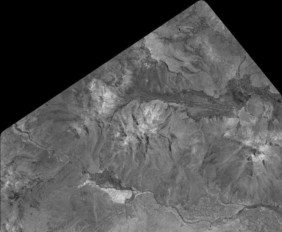
Quicklook
Copyright