TYPE:
SENSOR
LAYER:
DS_PHR1A_202403190703170_FR1_PX_E047S20_0324_01703
FORMAT:
DIMAP
RASTER:
image/tiff
General Information
Map Name
Geometric Processing Level
Radiometric Processing Level
BASIC
Image dimensions
Number of columns
9300
Number of rows
9390
Number of spectral bands
4
Dataset framing
Vertice
Longitude (DEG)
Latitude (DEG)
Row
Col
#1
47.1028982539563
-18.9226365880087
1
#2
47.29478947369398
-18.93352071629184
#3
47.29470285572351
-19.11447826771568
#4
47.10370723606143
-19.10521546850456
Dataset sources
PHR
Coordinate Reference System
Projected Coordinate System
Geocoding tables identification
EPSG(6.3)
Production
Production Date
2024-03-19T20:23:20.682
Job identification
6948696101-2
Dataset Producer Identification
AIRBUS DS GEO
Producer link
http://www.geo-airbusds.com
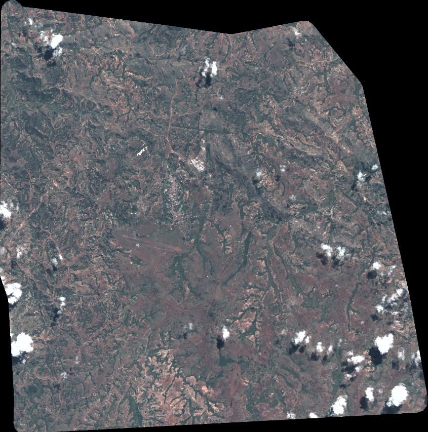
Quicklook
Copyright