TYPE:
ORTHO
LAYER:
DS_PHR1B_202403180843599_FR1_PX_E025N00_0408_00917
FORMAT:
DIMAP
RASTER:
image/tiff
General Information
Map Name
Geometric Processing Level
Radiometric Processing Level
BASIC
Image dimensions
Number of columns
5457
Number of rows
5287
Number of spectral bands
4
Dataset framing
Vertice
Longitude (DEG)
Latitude (DEG)
Row
Col
#1
25.26707901256898
0.337372687254009
1
#2
25.36510144373702
0.3373897698793714
#3
25.36511514390638
0.2417807925422671
#4
25.26709353317582
0.2417685508302209
Dataset sources
PHR
Coordinate Reference System
Projected Coordinate System
Geocoding tables identification
EPSG(6.3)
Projected Coordinate System name
32635
Projected Coordinate System code
urn:ogc:def:crs:EPSG::32635
Geoposition
Upper - Left Map X Coordinate
307143
Upper - Left Map Y Coordinate
37307
Image sampling
2 x 2
Production
Production Date
2024-03-18T22:13:21.567
Job identification
6948207101-2
Dataset Producer Identification
AIRBUS DS GEO
Producer link
http://www.geo-airbusds.com
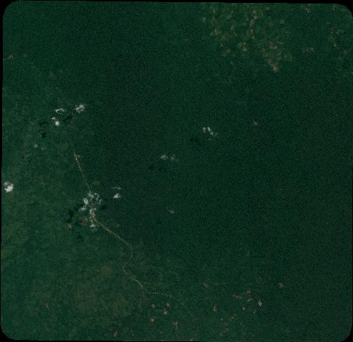
Quicklook
Copyright