TYPE:
SENSOR
LAYER:
DS_PHR1A_202403161453388_FR1_PX_W070S31_0219_02556
FORMAT:
DIMAP
RASTER:
image/jp2
General Information
Map Name
Geometric Processing Level
Radiometric Processing Level
BASIC
Image dimensions
Number of columns
4391
Number of rows
14185
Number of spectral bands
4
Dataset framing
Vertice
Longitude (DEG)
Latitude (DEG)
Row
Col
#1
-69.95683072569383
-30.10592094081747
1
#2
-69.86329182007886
-30.10443119622625
#3
-69.86260400963768
-30.36745261883881
#4
-69.95673947113127
-30.36862782544486
Dataset sources
PHR
Coordinate Reference System
Projected Coordinate System
Geocoding tables identification
EPSG(6.3)
Production
Production Date
2024-03-18T12:04:26.412
Job identification
6947717101-2
Dataset Producer Identification
AIRBUS DS GEO
Producer link
http://www.geo-airbusds.com
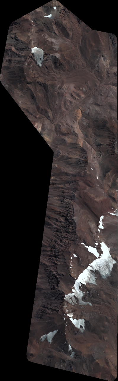
Quicklook
Copyright